There is a group of people who measure the sky and the earth and draw mountains and rivers. Whether it is ice and snow, cold and cold, high temperature and scorching heat, desert thirst, avalanche and lightning, or floods and wild animals, high mountains and dangerous roads, etc., it is common for them; they are the workers who are mapping the national geographic information on the front line. For them, it is particularly important to make professional mapping instruments light.
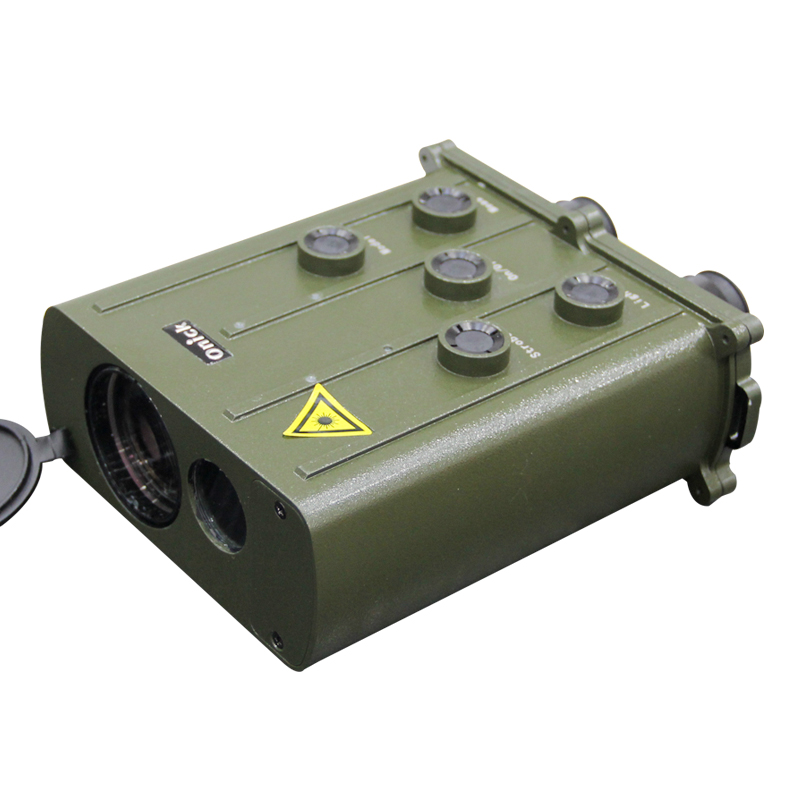
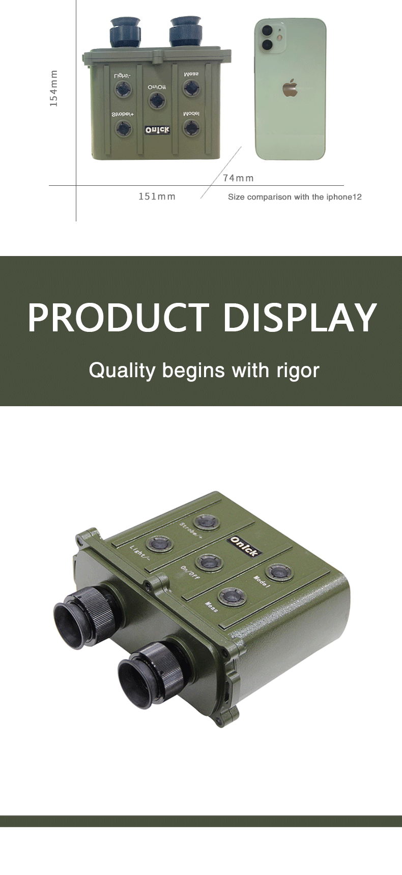
The American Onick 10000CI is a long-distance laser rangefinder designed for geodetic measurement. It has the characteristics of long measurement range, high accuracy, strong functions, easy to carry and operate. It can be widely used in riverbed and waterway monitoring, postal and telecommunications or communication or power cable laying, geodetic survey, meteorology, airport, forest and other engineering measurements.

**-level high-precision long-distance laser rangefinder, comparable to a PC computer
The American Onick CI series rangefinder currently has 4 measurement ranges, namely 30 meters-4000/5000/6000/10000 meters, with distance measurement and side angle measurement. The measurement accuracy is 0.5 meters, and the accuracy rate is as high as 98%. Onick 10000CI is the latest high-precision ultra-long-distance laser rangefinder with the longest measurement distance. It can calculate the average value of measurement data, store 1000 measurement data, and send the measurement data to the PC through multiple output interfaces (RS232, 2400, 8, N, 2); it comes with LCD display and graticule lighting and brightness adjustment, and automatically turns off when there is no operation for 20 seconds. Onick CI series rangefinder supports the query of the last ten distance values, battery life check, serial number query, storage area data query, etc.

Nine functions integrated into one, longer measurement range and stronger functions
In addition to the most commonly used distance measurement function, the American OnickCI series rangefinder also has powerful auxiliary functions for special use. Including: gating function, averaging function (AVG), storage function (SAV), sending function (TXD), angle measurement function (ANG), data retrieval function (IND), brightness adjustment function, data deletion function, and Light On illumination function. In special use, no matter what state is entered, press the reset button to exit this state. Long press reset to return to the initial state. If you need to measure long-distance targets stably and reliably, you can fix it on the camera stand through the 1/4 screw hole of the connecting plate at the bottom of the instrument, or connect it to various theodolites through the dovetail groove of the connecting plate through a special adapter mechanism, and perform remote distance measurement operations through an external trigger cable.

Summary of the features of Onick CI series long-distance rangefinders:
· Remote measurement without cooperative targets
· Arbitrary setting of distance gating
· Calculation of average measurement data
· Measurement of the speed of moving objects
· Measurement data storage and review
· LCD display and crosshair illumination
· Single or continuous working mode can be set
· Laser working times statistics
For more details about Onick CI series long-distance rangefinders,

